Mid Lachlan are part of a Landcare team that’s working to build an accessible water quality data set.

When salinity levels rise, environmental health and land productivity declines.
We want to continue to build a collective understanding of where the salts in our landscape are coming from in order to have the greatest chance of keeping salinity levels across our region under control.

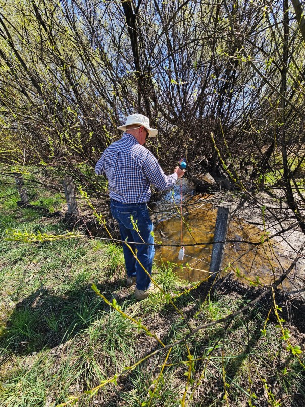
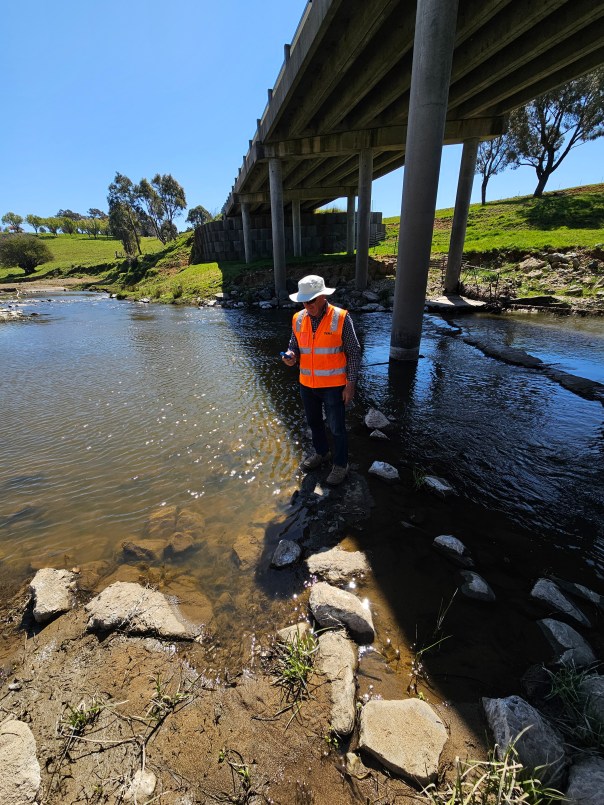
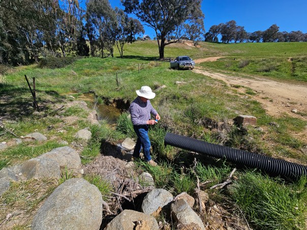
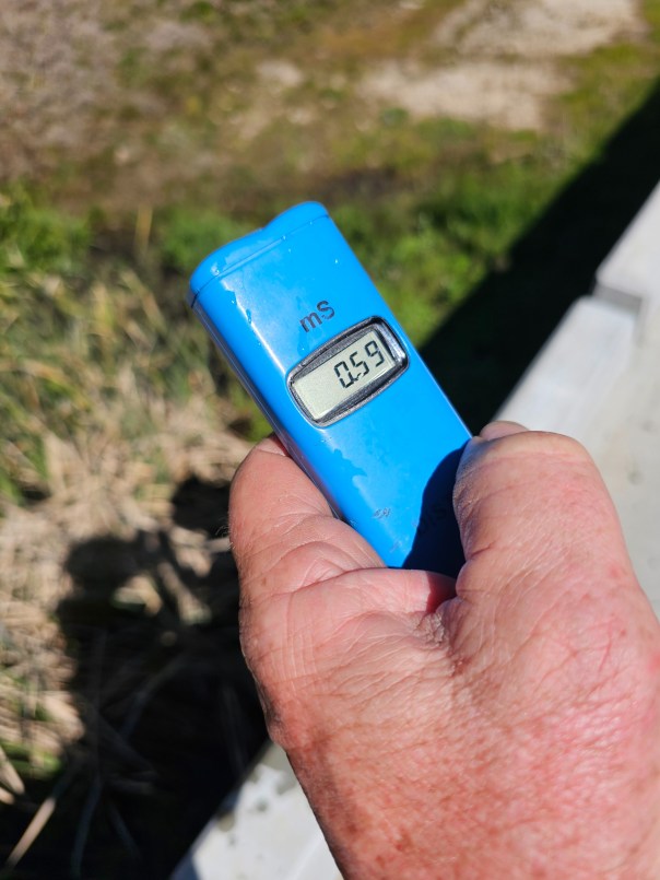
Mid Lachlan Landcare have been monitoring, measuring and mapping salinity in our waterways since 2022 using a test method that’s fast, cost-effective, flexible and non-invasive.
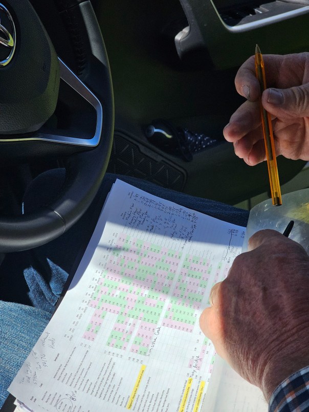
The data we collect is interpreted by our salinity experts who create a picture of what’s typical for an individual site or water course, and what causes salinity in a particular location to change over time. These insights can then go on to inform management decisions in a way that maximises return on investment.
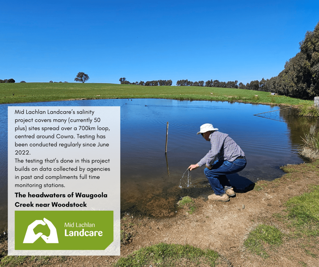
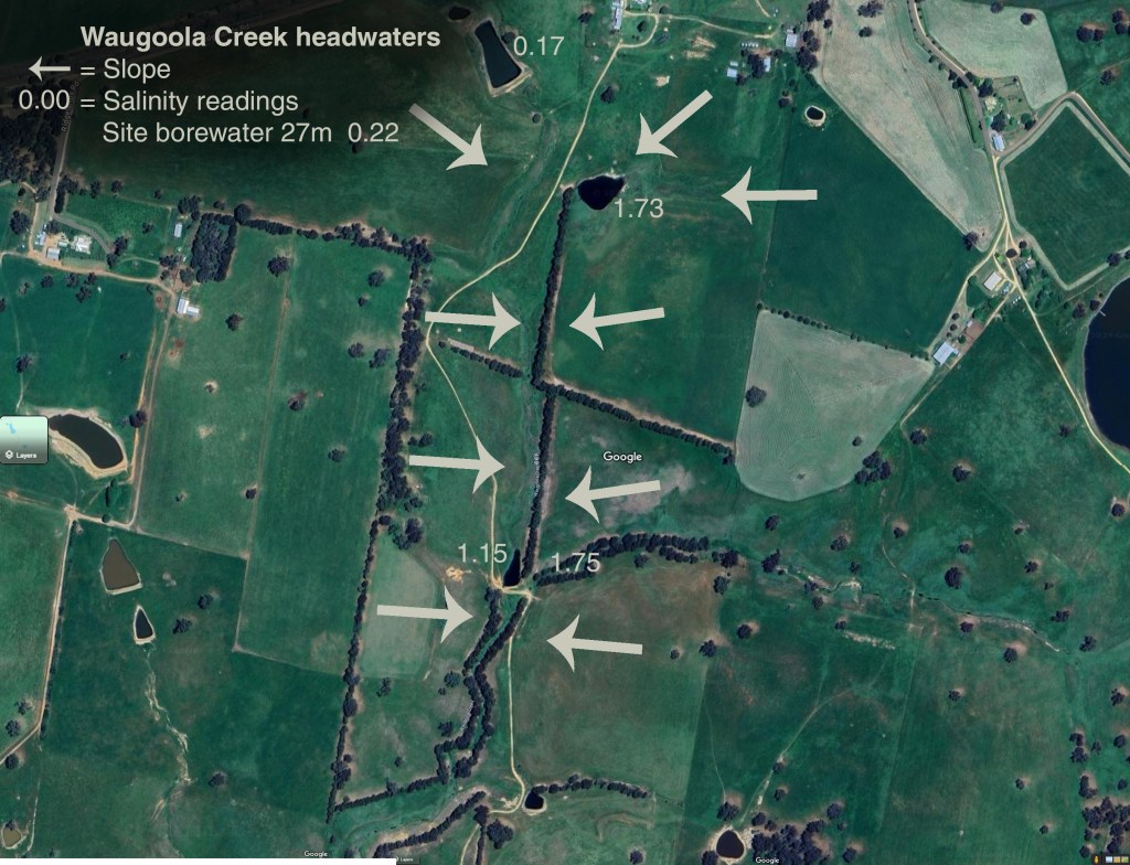
Waugoola Creek is one waterway that we sample as it makes its way down through the landscape. As there’s more than one way for salts to enter a waterway, variance in salinity is not at all uncommon.
As part of this project, we will be hosting an event to share the data we’ve collected and what we’ve learned with our community members. We will also be elebrating successful salt farmers in our region.
Our event will be held in the Cowra area during quarter 3 of 2025 and will be publicised through our social media, website and newsletter so watch this space…


