We have recently been successful in securing funding from the Foundation for Rural & Regional Renewal through the Future Drought Fund – Networks to Build Drought Resilience program, this project is supported by FRRR, through funding from the Australian Government’s Future Drought Fund.
This is an exciting project aimed to build the skills of local land managers within our community by using innovative satellite technology to identify, manage and support timely on farm decision making when dealing with the warning signs and effects of drought. This investment in technology and increased knowledge will provide our community with peer leaders and better prepared land managers for future weather events.
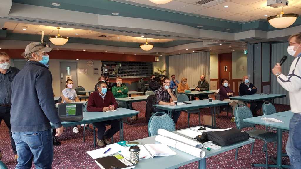
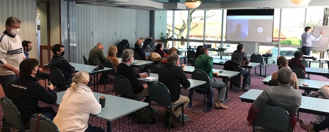
The development of this project follows on from initial community interest in satellite technology on farm where we then held an event in August 2021 to find out more about it. Participants in this project came from this event and others who expressed interest in using satellite technology to assist them with on-farm decision making.
We have 15 farms that will be trialling satellite technology and we will also be holding events for participants and others interested in finding out more. By the end of August 2022 the project participants will be utilising this technology. They will be able to discuss/show others in the region, who, would like to find out more about if the technology is useful and helping their businesses to better plan a prepare going forward into future weather events and day-to day farm management.
We will update this page with workshop/field day details as they are organised plus they will be in our monthly newsletters.
If you would like further details about this project please contact Peter Davis 0408 643 122.
Recent Article – Cowra district graziers use satellite technology to farm plan