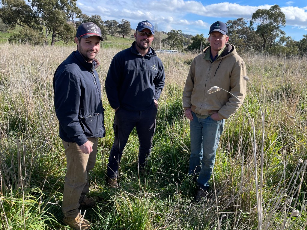
Over the past five months, 15 Cowra district properties have been trialling the use of satellite technology to measure pasture growth rates on their individual properties, helping graziers with the management of grass budgeting and stock movements.
Mid-Lachlan Landcare (MLL) has partnered with CIBO LABS Operations Manager, Nik Henry and Senior Extension Officer, Wendy Gill to run a series of workshops for participating properties.
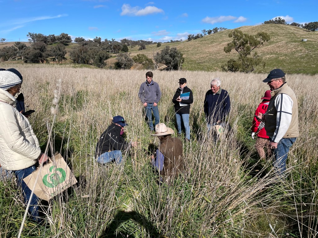
On August 24, MLL is offering everyone from across the Mid-Lachlan Landcare district an opportunity to attend a workshop. ‘This workshop will enable the group to share the experiences and knowledge gained through the program’, says MLL grazing facilitator Peter Davis. ‘It’s another tool to help with fodder assessment and management’.
Within the grazing industry, there has been an ever-increasing interest in rotational and timed grazing, and therefore, grass budgeting.“Our satellite assisted forage budgeting systems provide graziers with weekly satellite maps showing the variability in pasture biomass and ground cover for every paddock on the farm. This information provides objective data for planning rotational grazing, match stocking rates to carrying capacity and managing land condition”, says Henry.
CIBO LABS also offer clients a groundcover report based on 30 years of satellite history. From this, clients can see their individual property landscape health and pasture growth rates with regional comparisons. This can be useful when telling a story about historical management, drought management and pasture improvements over time.
‘We have the ability to look backwards and are able to quantify and marry data with stories about how new management has impacted or improved landscape,’ says Henry.
Livestock corporations in Northern Australia have been using this program effectively since 2018,’ says Henry. ‘The satelite images encompass the full range of shrub and tree cover, grass growth and weeds. Some of the satellite images of weeds and other unpalatable vegetation can be misleading. To compensate, the technology improves as data is fed in by agronomists and pastoralists to ground-truth the satellite images.’
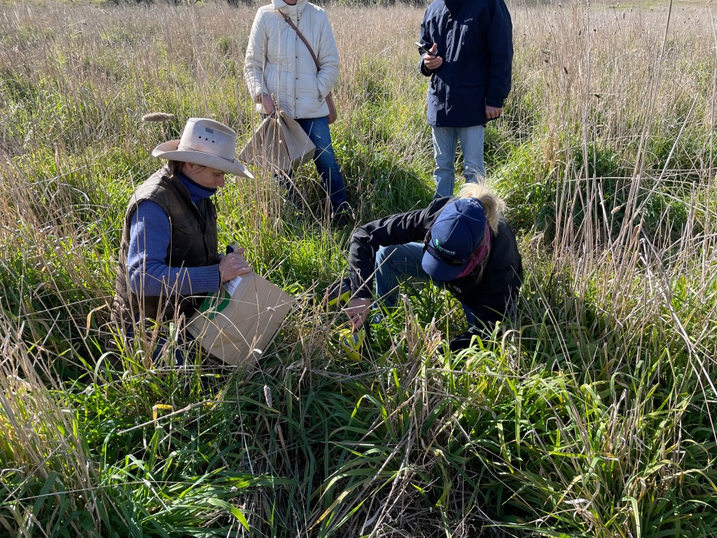
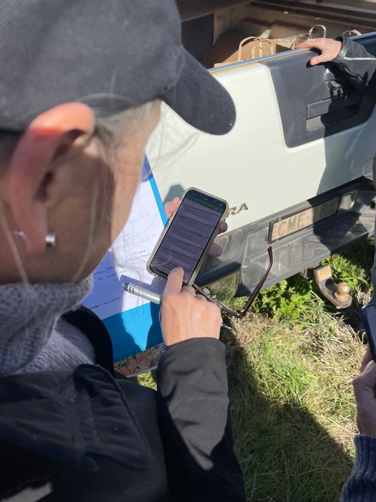
Since 2020 ,the southern landscape has seen ground truthing of pasture biomass (which comprises a completely different species to the north). MLL participants have been working with the satellite data, using apps, taking photos, taking pasture cuts and measuring growth rates to add to the biomass library for visual calibration of the southern data.
MLL’s Peter Davis explained this program has been funded through a grant from the Foundation for Rural and Regional Renewal through the Australian Government’s Future Drought Fund – a program to build drought resilience. ‘This program is helping farming businesses to plan for future weather events such as the next dry spell,’ he said.