Last week Tracee & I joined Wooly (Andrew Wooldridge) on a salinity measuring day around Cowra.
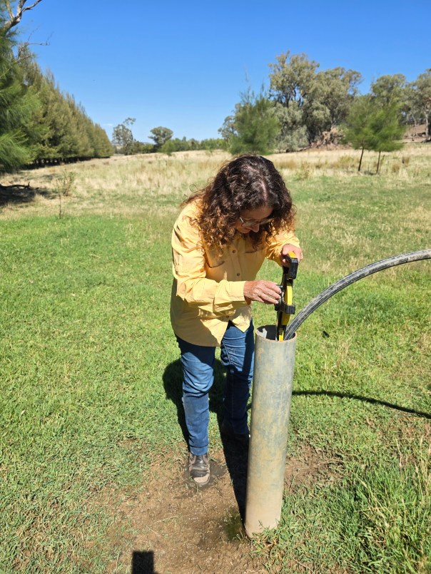
Tracee recording the depth & salinity of the water table 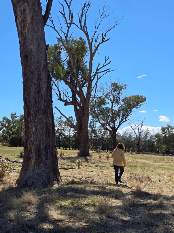
Salinity impacted trees 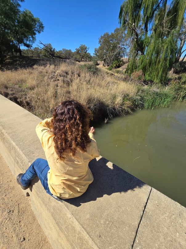
Measuring salinity in the creek 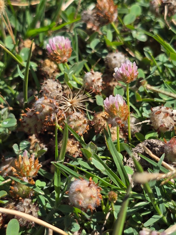
Persian (or Strawberry) clover. A salt tolerant pasture species 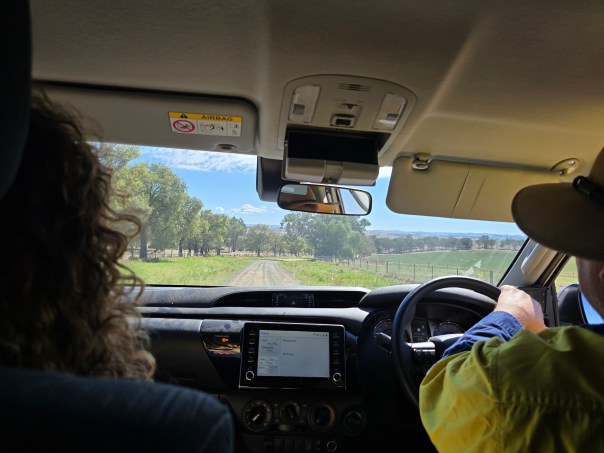
Driving around the loop 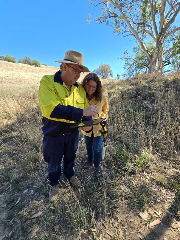
Uploading our data to the app. 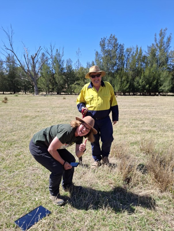
Flora survey -looking for salt tolerant plants 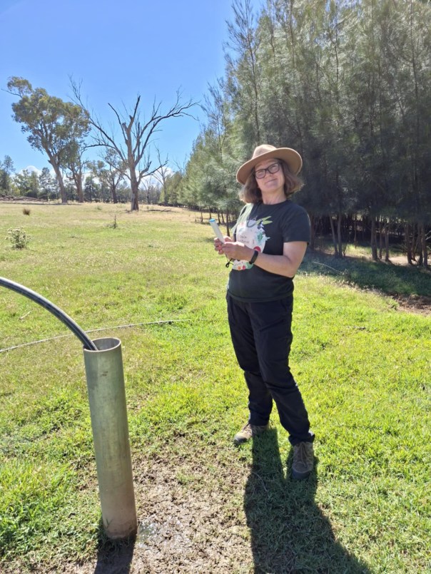
Reading out the salinity data
Wooly both volunteers with Mid Lachlan Landcare & Works with the Department of Climate Change, Energy and the Environment. Salinity mapping, measuring, monitoring and managing is one of his things!
Wooly has been working with us and other Landcare groups in the central west to test-drive a custom-made app that allows us to ‘see’ salinity, it’s impacts and the mitigation/ remediation measures we’re taking & deliver that data direct to farmers, land managers and other interested parties.
Murrumbidgee Landcare, who are also part of this initiative have uploaded a great summary of this project and have also provided a map of each of our salinity testing loops. We will be making the Cowra loop results available on this centralised website as soon as we can get the data uploaded to our shared app.
This app will make it easier for us as Landcare to track management actions across our area &, more importantly, will help us & our community to make good management decisions.
Salinity data has been something our government has gathered and kept for many years but this is the first time we’ll be able to deliver detailed & specific data to the people responsible for managing it in real time.
Exciting times.


