On Friday a group of us met at Perennialle Plants in Canowindra to be fitted out with two custom-made apps we can use for our salinity mapping and monitoring work.
Wooly who sits on the Mid Lachlan Landcare Committee and works as a Salinity Technical Officer- Basin Salinity Program for the NSW Government has been working with Cibo Labs to develop these apps and wanted to make sure we could all use them before leeting us lose around the countryside – fair enough!
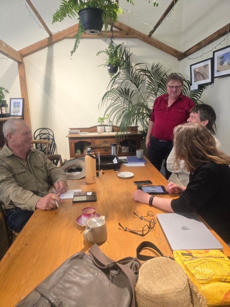
Completing the practical part of our informal new-app assessment.
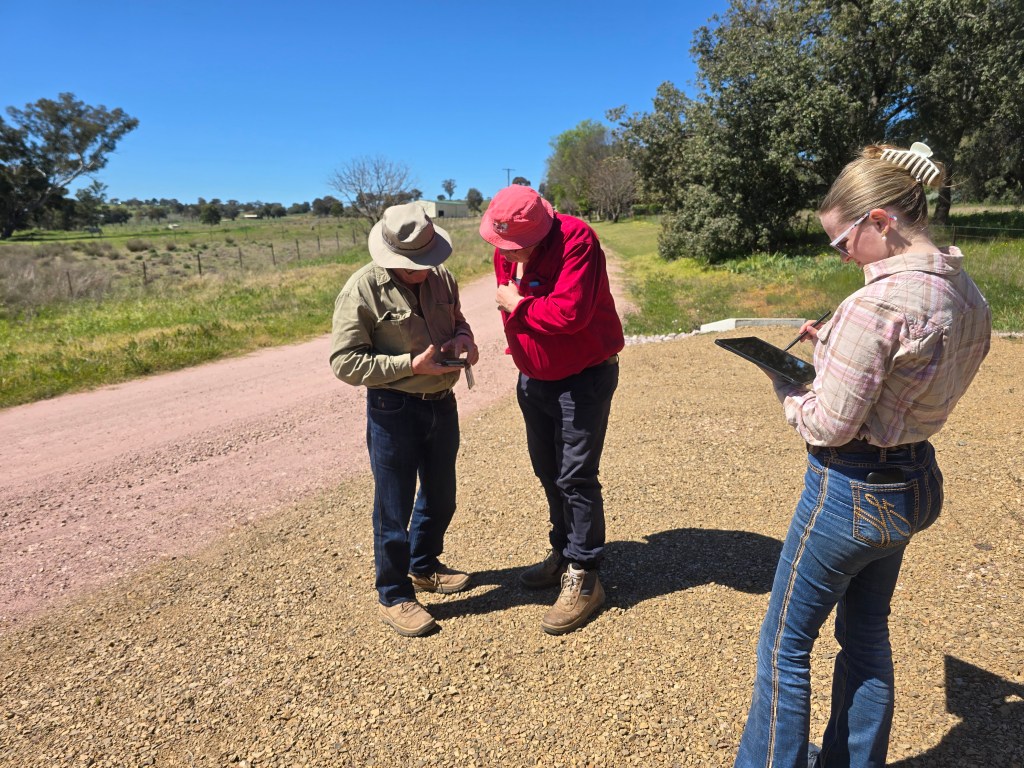
Orientating ourselves and picking out the landscape features we need to make notes on. David, Wooly and Isabelle (Work Placement Student)
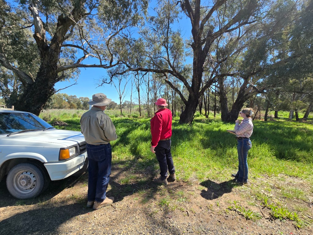
The week before Tracee, David and Wooly had been out on their first monitoring loop in the Eugowra catchment and as you can see from the picture below, they were still taking notes manually. That date will get uploaded to the digital record along with data from future loops and the incidental observations we make outside of EC testing.
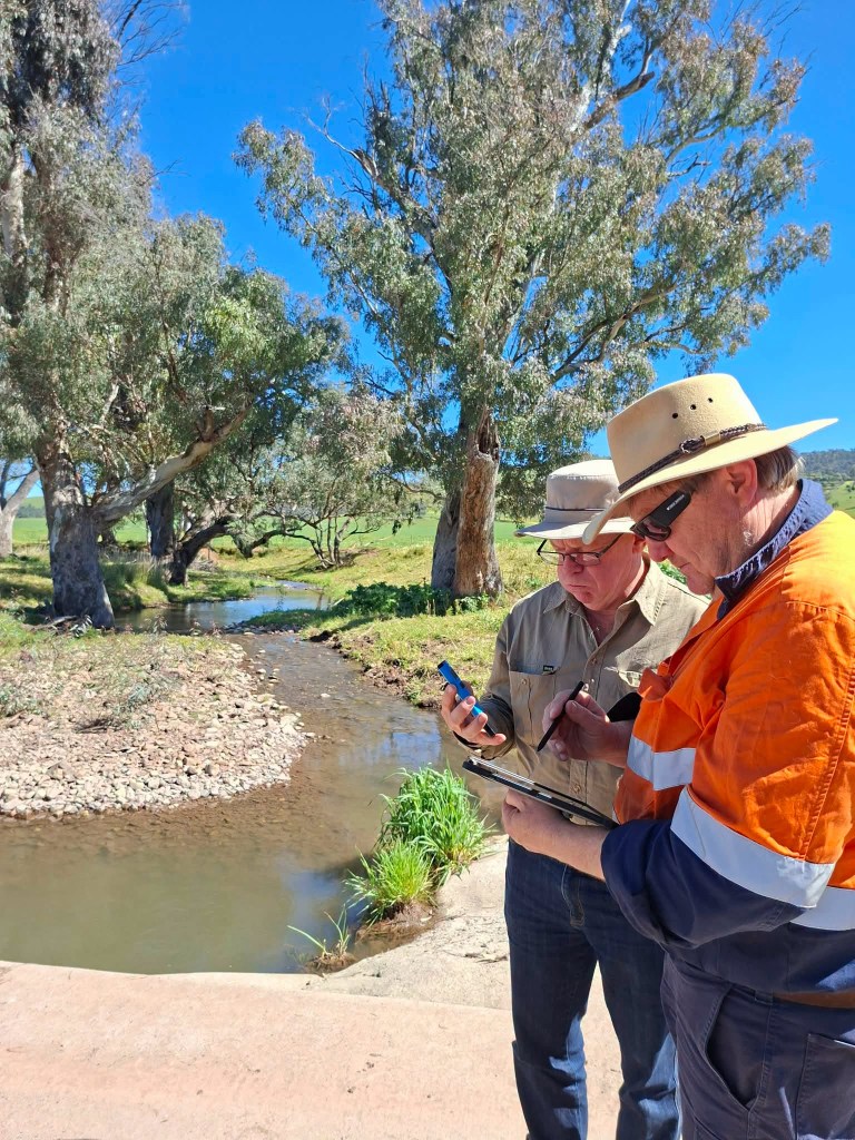
The Eugowra loop takes in waterways above Manildra and Cudal were tested before moving over to Toogong and finally at the bridge over the Mandagery in Eugowra.
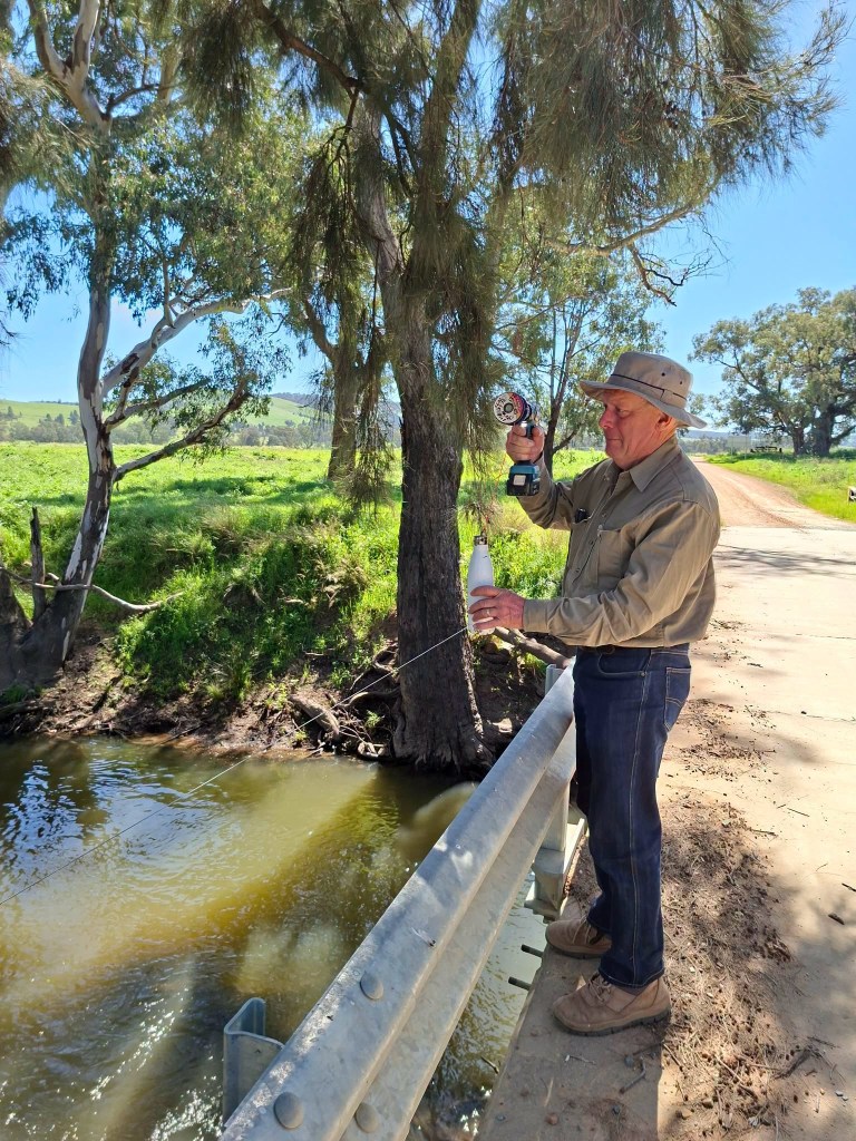
We still love David’s innovative use of a drill to take these samples – some string and a drink bottle that can be lowered and then raised using the drills mechanism. How very smart!
Why are we doing this?
This work extends onto the back of a Salinity monitoring and mapping project that Murrumbidgee Landcare report on here. Salinity mapping data across time is an incredibly important resource for helping us get ahead of and prevent future outbreaks and reduction in landscape function. Rising salinity puts pressure ecosystems, eventually changing the way they function to the point that we see tree dyeback and species change towards more salt tolerant species. Erosion frequently follows a rise in salinity with roads, farm tracks, gullies and creeks often ended up breaking apart and in doing so, washing off any remaining top soil. Remediation efforts can be extremely costly and take time to deliver results which is why we are so keen on producing a data set that can help us get ahead of the problem. We need as much time as we can get to allow any strategically planted trees and shrubs to grow and start reducing the speed and level of ground water before the problem gets out of hand and productive land is lost.
We’re measuring and monitoring both the waterways and landscape around the Mid Lachlan Landcare region with a view to creating a meaningful, local management tool that the whole community owns and has access to.


